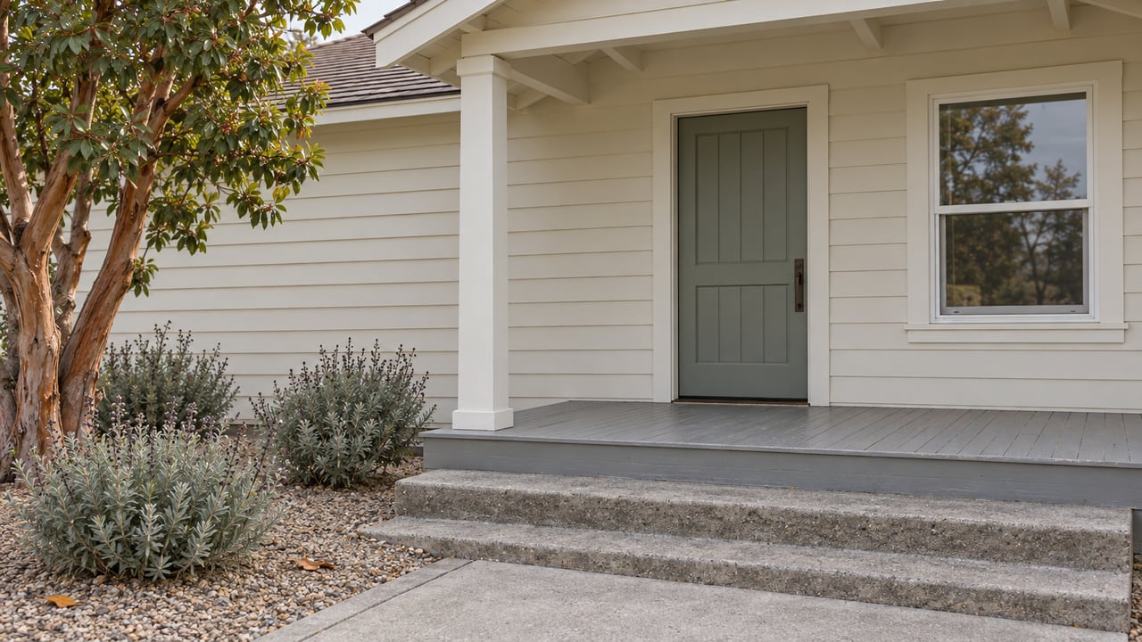
Where the Sonoma Bike Path Meets the Street Is Where This Winter's Work Happens
October 29, 2026
October 29, 2026
The next round of city money for the Sonoma Bike Path goes to the places where it crosses a street. The paved path itself stays as it is.
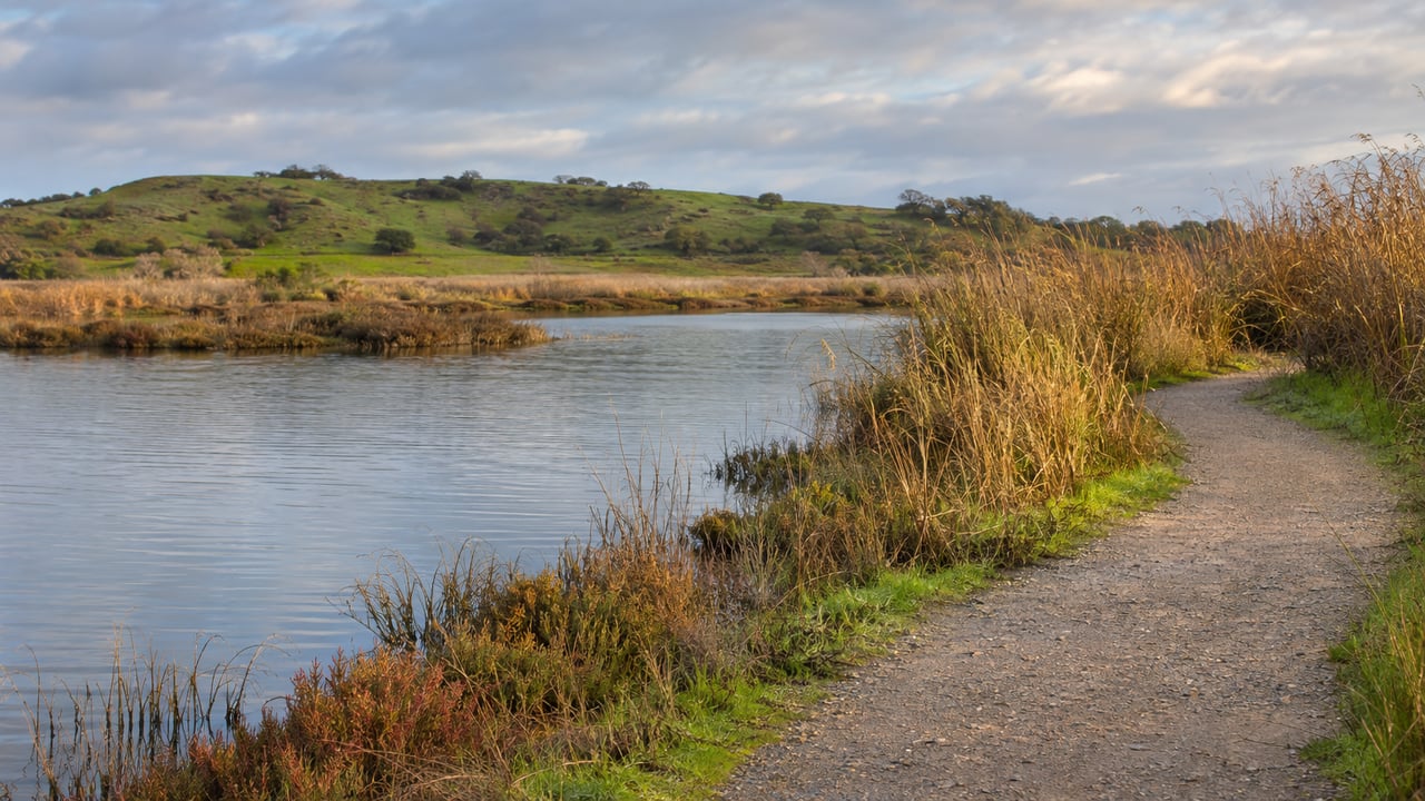
The City of Sonoma calls the 1.5-mile east-west route the Sonoma City Trail. It runs from Sebastiani Winery to Sonoma Highway near Maxwell Farms Regional Park, with direct access to Depot Park, Field of Dreams and Olsen Park along the way. The Fryer Creek Trail runs north and south for about a mile beside the creek and continues through Madera Park, which is also called Fryer Creek Park. Between them, the two trails reach most of the west side of town. The project the city started this year covers the points where those trails meet traffic, and the stretches of street that link one trail to the other.
All of this belongs to the city's Citywide Bicycle and Pedestrian Safety Improvements project, listed in the capital plan as CIP T-6. The Sonoma Index-Tribune reported on Oct. 21 that the program has about $2.2 million in total funding. That is $1.61 million from Go Sonoma plus about $577,000 from the city. The same report counted six bike path crossings scheduled for improvement, plus the Third Street West bike boulevard and separate work at Fifth Street West and Studley Street.
In late August, the city said most parts of the project had reached about 90% design, with the Third Street West boulevard at about 65%. It expected to seek construction bids in fall 2026, with construction to follow. That gap in design progress shapes how the rest of this winter plays out.
The city's Sonoma Bike Path Crossing Improvements page, posted in mid-October, lists the work location by location.
The page names Junipero Serra Drive as the first job, with construction expected in Winter 2026/2027. For the other crossings, the city says it will add construction schedules once each design is confirmed. So the raised crosswalk is the change most likely to show up first.
A related project at Fifth Street West and Studley Street, which includes the Safeway driveway, is still in design. It proposes pedestrian refuge areas, curb extensions and more RRFBs.
If you use the Fryer Creek Trail, compare the city's two project pages. The crossing improvements page has its own list of RRFB locations. That list includes West MacArthur Street at the Fryer Creek crossing, Fourth Street East and Robinson Road, along with Fifth Street West, First Street West, First Street East and Second Street East. The CIP T-6 project page summarizes the beacons more briefly and names only Fifth Street West, First Street West and First Street East. Neither page explains the difference. The crossing page is the newer of the two, and the city calls it the central place for updates on this part of the project.
The crossings fix the east-west route. The part of the project still being drawn is the north-south connection. The city told the Index-Tribune in September that its adopted Active Transportation Plan names Third Street West as the street connecting the Fryer Creek Trail to the Sonoma Bike Path. In July reporting by the same paper, the city described the planned bike boulevard as a neighborhood street shared by cars and bikes, without a separate bike lane.
City officials described the goal in a July 30 Index-Tribune explainer: "Completing this connection creates a continuous north-south bicycle route through the community and provides an alternative to traveling on busier streets." The project page lists work at Austin Avenue, Perkins Street and Andrieux Street, including traffic calming, better crossings, accessibility upgrades, speed cushions and wayfinding signs.
In July, the city put a temporary traffic circle at Third Street West and Perkins Street. It was meant to slow drivers and to collect data for the final design. The city's Aug. 25 committee summary says speed surveys showed the 85th-percentile speed at that intersection dropping from 24 mph to 19 mph. The Index-Tribune reported Aug. 26 that the highest recorded speed fell from 43 mph to 32 mph.
Nearby residents objected anyway. They argued that the circle was too large for a small intersection and that other spots, such as Broadway at France and Andrieux streets, needed attention more. After an Aug. 25 Traffic Safety Committee review, the city dropped the permanent circle. City spokesperson Sarah Tracy explained the decision to the Index-Tribune in its Sept. 30 report:
"The data out there did show that it was serving its purpose of slowing down traffic... there are other things that also could serve the same purpose that seemed more agreeable."
She also said the city does not really have traffic circles and installed the temporary one to answer engineering questions. So the one piece of this project that was tried on a real street was changed in response to neighbors, even though the speed data supported it. That explains why the boulevard is behind the crossings on the design schedule.
The city is now considering these alternatives:
The Sonoma County Transportation and Climate Authority administers the project's funding, so the city has to coordinate any of these changes with that agency before they move ahead. Andrieux had already been ruled out for a circle back in July because of its steep vertical curves and its role as an emergency route. The plan for that corner was shifted stop signs, new crosswalks and painted curb extensions. No completion date has been published for the boulevard.
The Traffic Safety Committee was scheduled to get an update on the Junipero Serra raised crosswalk at its Monday, Nov. 2 meeting at 6 p.m. The city's meeting page says the agenda will be posted on its meeting portal 72 hours before the meeting. You can sign up for email updates on the crossing improvements page. The city says that page is where it will post construction schedules as each design is finalized.
General Vallejo's Home is one of the sites that make up Sonoma State Historic Park, a group of historic sites near Sonoma Plaza. Sonoma Parks lists the Victorian Christmas Crafts Workshop there on Nov. 15 at 11 a.m. as its final workshop. A Peter Meyerhof lecture on mapping the northern end of El Camino Real follows at the Sonoma Barracks on Nov. 19.
If you live near one of these crossings or along Third Street West and want to talk through how the changes on your street fit into a future sale or purchase, Ashley McSweeney is glad to walk the block with you. Request a free home valuation and consultation whenever you're ready.
Stay up to date on the latest real estate trends.
Get assistance in determining current property value, crafting a competitive offer, writing and negotiating a contract, and much more. Contact me today.